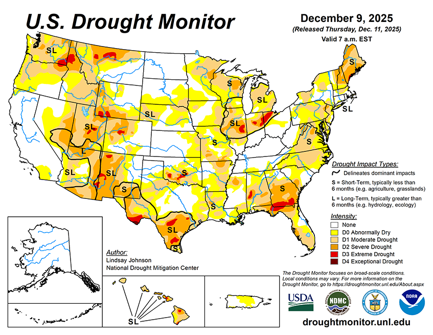
According to the 5-day quantitative precipitation forecast (valid from Dec. 11 -16) the heaviest precipitation is forecast across the Pacific Northwest, especially along the coastal ranges of Washington, Oregon, and far northern California, where totals may exceed 5 to 10. Moderate precipitation is also expected across the northern Rockies and into the northern Plains and Upper Midwest, with widespread amounts between 0.5 and 2 inches and localized areas of higher amounts where terrain enhances moisture, such as elevation and lake-effect snow. Across the South and Southeast, a broad area of lighter but steady rain is anticipated from eastern Texas through the Gulf Coast states and into the Carolinas, generally ranging from 0.5 to 2 inches. The Northeast is also expected to pick up around 1 to 2 inches. In contrast, much of the Interior West—including the Great Basin, Southwest and central Rockies—shows little to no precipitation.
The 6 to 10 day outlook (valid Dec. 16–20) favors widespread above- normal temperatures across most of the Lower 48, with the highest likelihood for above-normal temperatures centered over the Four Corners region and extending across the western and southern U.S. Much of the Midwest, Great Lakes and Northeast also lean warmer than average, while only a small pocket of near-normal temperatures is suggested in parts of the northern Plains. Cooler-than-normal conditions are limited to coastal New England and portions of Alaska, where the highest chances for below-normal temperatures appear. Precipitation patterns show more divide with wetter-than-normal conditions favored across the Pacific Northwest, the northern Rockies, the Upper Midwest and parts of Hawaii. In contrast, drier-than-normal conditions are likely across the central and southern Rockies, the central Plains and much of the Southeast, with the strongest dry signal centered over Arizona, New Mexico and western Texas. Near-normal precipitation is expected across broad sections of the Midwest, Mid-Atlantic and Interior West.


